
Cart
0
Product
Products
(empty)
No products
To be determined
Shipping
0,00 €
Total
Product successfully added to your shopping cart
Quantity
Total
There are 0 items in your cart.
There is 1 item in your cart.
Total products
Total shipping
To be determined
Total
GPSMAP 527
New product
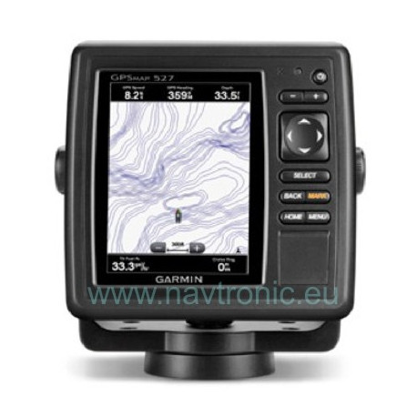
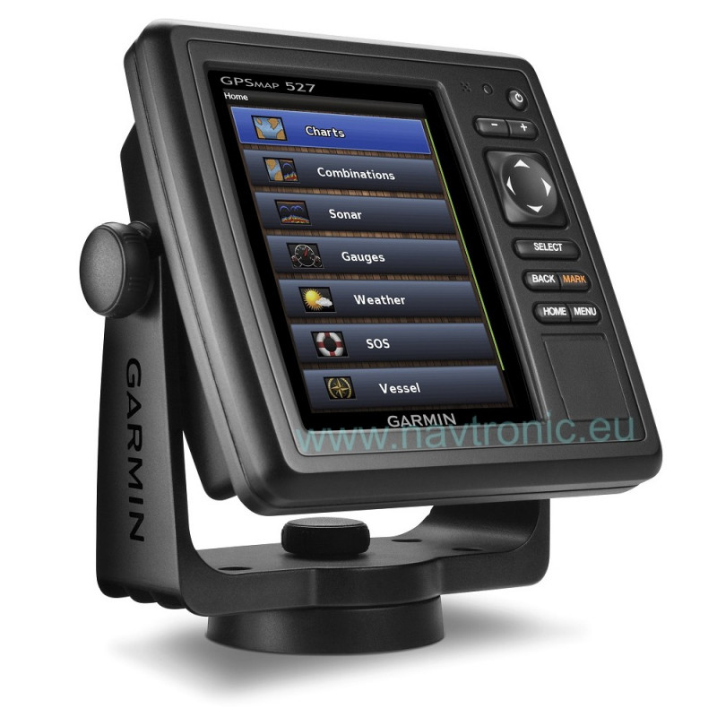
Garmin GPSMAP 527 allows for easy visibility, day or night. Whether it is flat, flush or swivel-mounted, it will be the focal point of your helm. It includes our hallmark user-friendly interface as well as a worldwide basemap.

More info
With the integration of a 10Hz GPS/GLONASS receiver, the 527 refreshes position and heading up to 10 times per second. It displays constant and fluid on-screen location and proves to be incredibly accurate when marking and navigating to any one of 5,000 user-created waypoints.
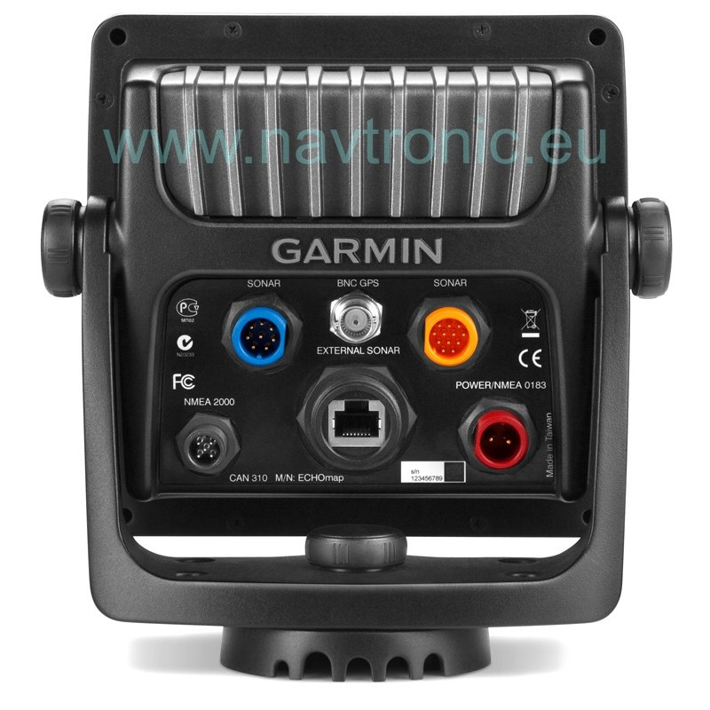
It also has wireless connectivity, giving you the opportunity to connect and access marine-specific apps via smartphone or tablet.
Features:
-
- Order no.: 010-01092-00
- Display size: 5" diagonal (12,7 cm diagonal)
- Display resolution: 640 x 480 pixels
- Waterproof: IPX7 - submersible
- Basemap: world
- Supports AIS (tracks target ships' position): yes
- Audible alarms
- Sun and moon information: Yes
- 3-D map view: yes (with optional BlueChart g2 Vision card)
- Automatic routing (with optional BlueChart g2 Vision card)
- Wireless and Bluetooth® connectivity
- Compatible with Fusion media system
- Allows BlueChart G2 Vision
- In the Box: GPSMAP 527, tilt/swivel mount, protective front cover, power/data cable and documentation
- Dimensions (WxHxD) mm: 150 x 155 x 61
- Weight: 0.80 kg
- Warranty: 2 years


